Walking in Southern Greenland
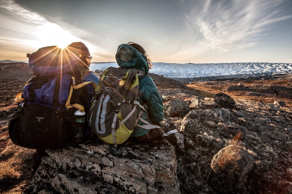
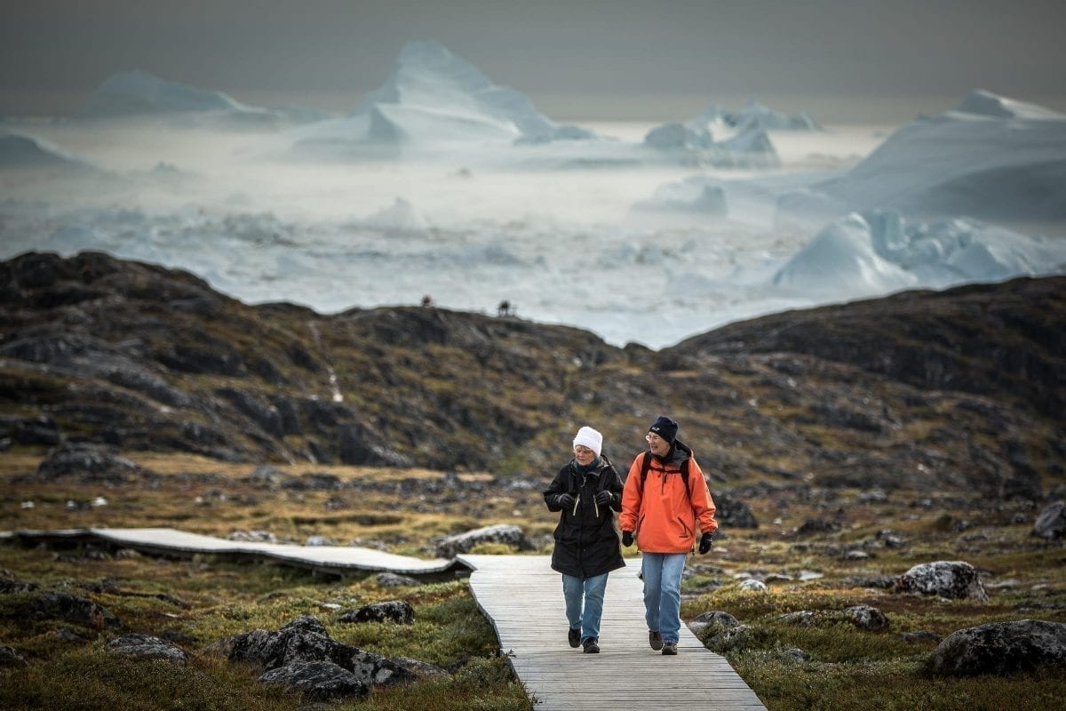
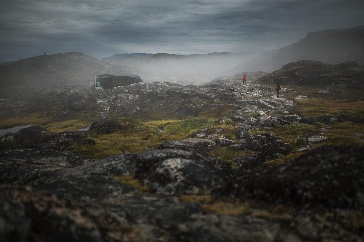
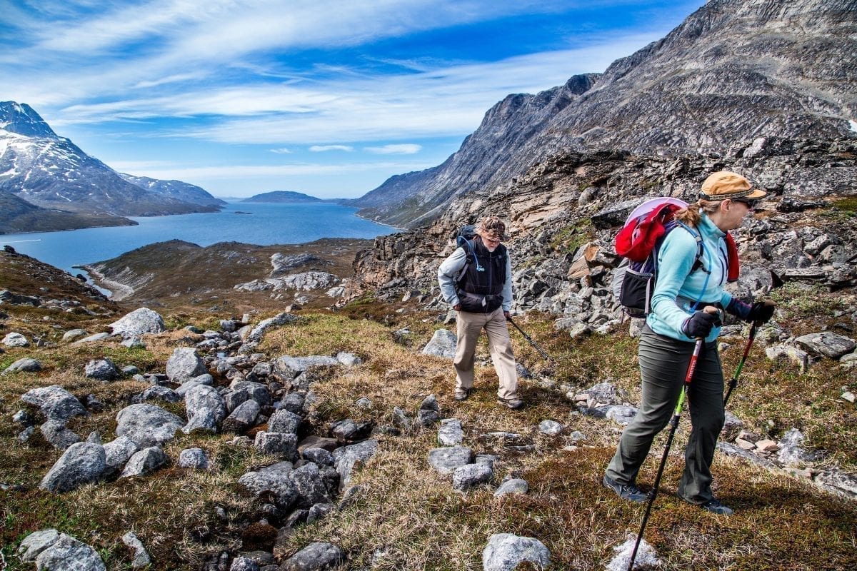
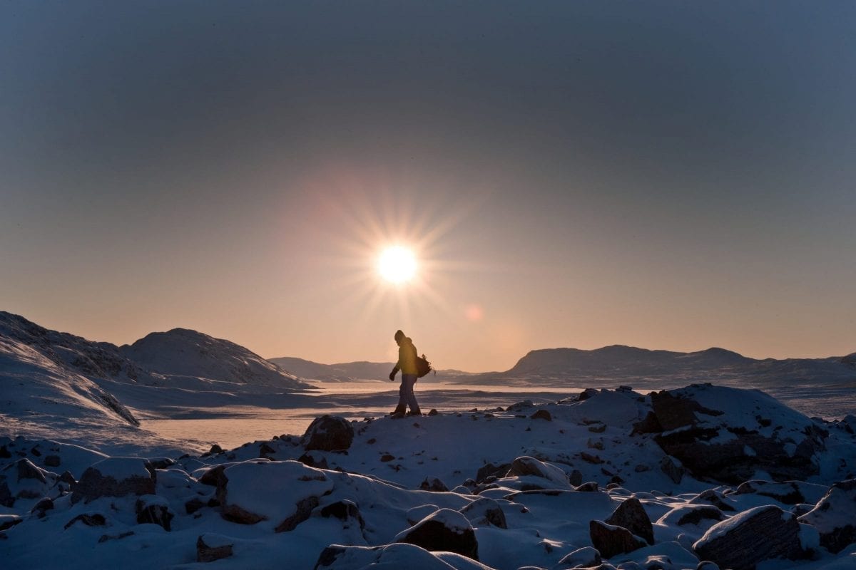
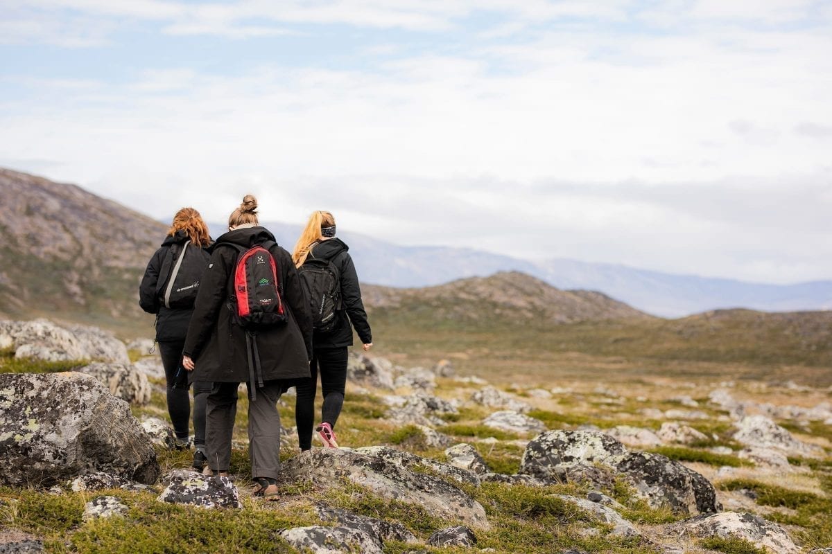
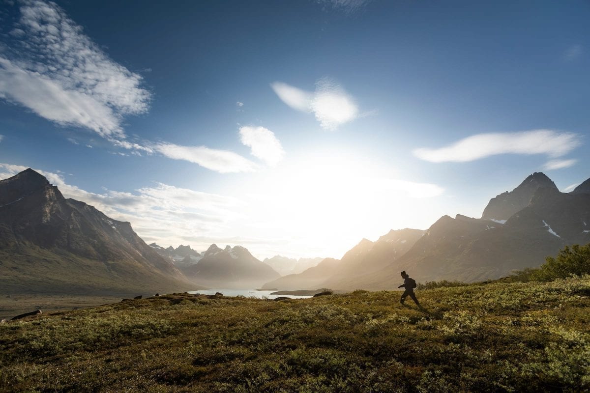
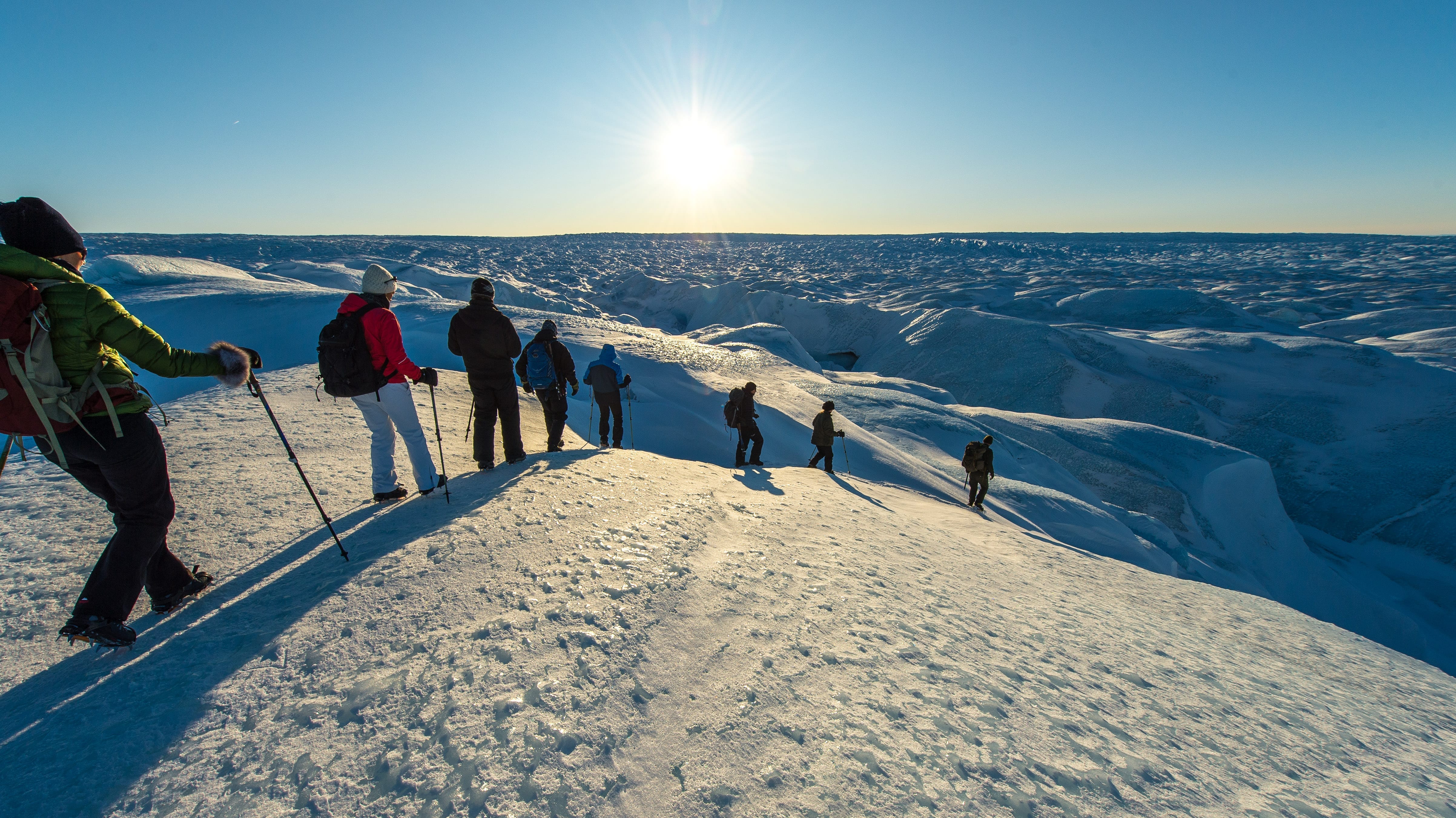
Yes, we have mentioned it many times on this page, but we are true to our word: Southern Greenland IS the perfect place for hiking! There are endless possibilities. So tie up your shoe laces and get walking!
Many people prefer to walk in the south of Greenland because there are relatively easy hikes side by side with the option to climb on vertical mountainsides if that’s what attracts you. The latter is not necessarily walking, of course, but we just need to mention that the three magic mountains Nalumasortoq, Ulamertorsuaq and Ketil (Uiluit Qaqqaa) are among the most wanted peaks in the world for expert mountain climbers. These upright rocks are located by Tasermiut Fjord close to Nanortalik.
Now let’s get back to those easier hikes. The Greenlandic name for Southern Greenland is Kujalleq. At the same time, this is the name of one of the three UNESCO World Heritage sites in Greenland. In terms of UNESCO, Kujalleq covers five areas in the south of Greenland, including the cultural sights close to the settlements of Igaliku and Qassiarsuk.
Narsarsuaq, Qassiarsuk, Igaliku and Skovfjorden (Forest Fjord)
Most visitors to Southern Greenland arrive in Narsarsuaq. This is the first option for good hikes even though you might be in a rush to move on. One solid recommendation is a trip up the mountain “Signalhøjen” (Signal Height). This peak offers a great view over Narsarsuaq and the end of the Skovfjord (Forest Fjord), which Narsarsuaq is located in. You can even see all the way to the other side of the fjord to Qassiarsuk, where the Northmen Erik the Red and Tjodhildur settled with friends and family upon their arrival in the medieval ages. If you’ve got some time on your hands and want to walk further, then continue your path to Blomsterdalen (Flower Valley). From here, you can climb a relatively steep path up the mountain and reach the Ice Sheet.
More and more visitors walk between sheep farms that are spread across the south of Greenland. Several of them do now offer Bed & Breakfast. You can even organize a trip with our partners so that your luggage gets transported from place to place and you only have to carry a small backpack with you.
For example, you can walk from Narsarsuq to the end of the Skovfjord (Forest Fjord). At its end you will find a fantastic coniferous forest. Cross the stream and walk towards Qassiarsuk, whose name 1.000 years ago was Brattahild. Here you will find reconstructions of some of the buildings the Northmen created, including the very first church on the American continents.
Take the boat from Qassiarsuk (or Narsarsuaq) to Igaliku, which is located at the same place as the ancient Northman settlement Gardar. You get dropped off the boat at Itilleq. It is a 4 miles walk to Igaliku from here. Igaliku offers a hotel as well as cabins that can be a great starting point for even more beautiful trips in the mountains. The settlement is located right below the 5.700 feet tall Erik’s Mountain.
Another option is to walk from Qassiarsuk to the sheep farm Tasiusaq by Bredefjord (“Wide fjord”). Its beautiful green fields mirror in the blue water. And if you walk just a little further, you see some of south Greenland’s most impressive glaciers. Alternatively, continue along the fjord with sheep farms lined up. If you prefer longer trips, you can walk all the way to Narsaq, a town with one of the most beautiful locations in all Greenland.
Narsaq
If you stay in Narsaq for a few days, you should definitely walk out of town to experience the beautiful nature. An obvious route would be to Narsap Ilua. Visit the ruins of the Northmen and continue along the water to the Big Stone, which literally is a giant one. It rolled down the mountainside and ended up at the waterside, where it broke into three pieces. That is why you now can climb through the stone and get on top of it.
You might want to walk away from the water and through the valley. On this trip you reach the famous mountains Kvanefjeldet and Ilimaasaq. Meet some cows and sheep on your way. They belong to the sheep farm in the valley. If you feel like it, you can walk up to the top of the mountains and enjoy the incredibly beautiful view. This trip is somewhat more challenging than walking to the bay.
Qaqortoq, Hvalsey and Igaliku
Qaqortoq is the main town in Southern Greenland. It is beautifully placed in a pot-shaped bay. The houses seem to climb up on the mountainsides and wind along the stream that runs through the town. The stream comes from “Storesøen”, The Big Lake, which totally lives up to its name. If you are around in Qaqortoq for a few days, then why not walk around the lake. Be prepared for a longer hike of 7 ½ miles. Of course, you choose your own pace but most people walk this trip during a whole day and make sure to get some rest in between in this beautiful area.
If you prefer a longer hike, then walk from Qaqortoq to the ruin of the church at Hvalsey. This is the best-preserved ruin after the Northmen in Greenland. Leave the town and follow the bay and the fjord into the country. Just like Narsaq, Qarqotoq is situated on a peninsula. While you can walk from Narsarsuaq via Qassiarsuk to Narsaq, it is also possible to walk from Qaqortoq to the settlement Igaliku, passing the remains of Hvalsey’s church. This trip is not challenging as you don’t have to climb high mountains on this route. It takes 3 to 4 days, depending on your pace. Igaliku is a good starting point for even more hiking routes into nature. On this trip you can explore cultural sights within the UNESCO World Heritage site Kujalleq.
